Best Real Estate Companies in Dhaka, Bangladesh (2023- Updated)
Bangladesh is no different than any other country when it comes to the importance of the housing industry to the…
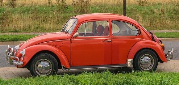
Why it’s a Wise Decision to Buy a Second Hand Car in BD?
You might be thinking from the title, what’s so smart about buying a Second-Hand Car in BD? Second-Hand cars are…
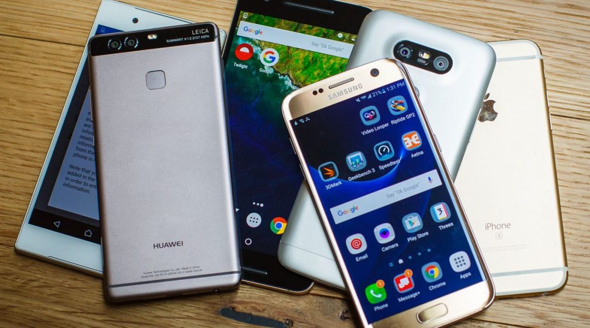
Best Website Development Companies in Bangladesh (2023- Updated)
Website development is a strong instrument for corporate growth in the digital age. You must have a comprehensive web presence…